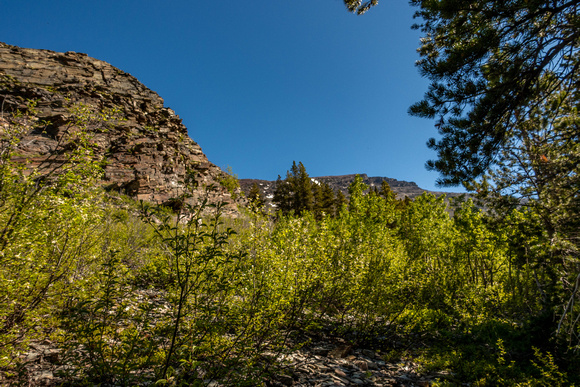
I took the Western Saddle route. However there isn't a very detailed description of that route or map so I basically had to make it up. I started out bushwacking up from the Ptarmigan Trail. You could probably avoid bushwacking with more sidehill bashing but I didn't want to do that. I avoided this cliff below treeline then followed on either side of a gully.
There is normally a bear restriction on these slopes. The GNP website indicated it wasn't in place yet, so I stopped at the ranger station to confirm. The ranger confirmed it wasn't in place and you could legally climb the peak that way. However also that he thought it should be in place and that no one should hike solo. I ignored that and headed out. Its rare the closure isn't in place. When it is, the only legal route goes past Natahki Lake and up northern slopes. Which isn't dry till much later in the year.