We chose not to go up the cut line, and ascend to McGillivray Ridge the normal route. Which is at its far southern end. Matt had already hiked the ridge before, and I couldn't be bothered. We took a route just to the north of
Dave McMurry's route.
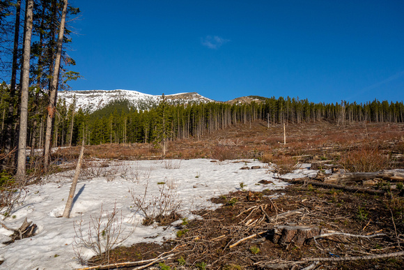
This is a view from a cut block to the north of Dave's cutblocks on the other side of the creek. We hiked along an old logging road for ~500 meters to get here. We will bushwack through the forest to reach the dry slopes of the ridge in front of us.