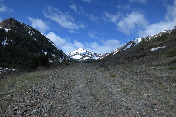
Biking (sometimes just pushing the bike) up the initial approach road.
A day when I wanted to do Sofa, but the wind scared me off. It wasn't too bad (for the area) but it was cold and sometimes gusted quite hard.
This alternative trip took a very short amount of time (4 hours) as I only visited the "true" northern summit. I didn't continue along the ridge to the middle or southern highpoints.
The middle seems too low to be considered anything, and I can visit the south when I do Victoria Ridge. While there is something to be said about hiking the complete ridge to be able to claim the summit. In this case what makes Pincher Ridge a ridge? While the Drywood and Loaf massifs have the name mountain for their highpoint instead? From a map they all like look ridges running in the same orientation to me. What was the technical definition of a ridge used while naming these peaks in the Castle? Nihahi is much more ridge like, and would be easier to make that point about.
But I digress. What does it really matter? I just wanted out of the wind and to go see if the fried chicken place in Waterton was open yet or not (it was!).