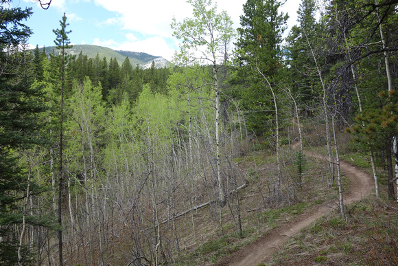
The trail I chose to hike up Ben's Hill by is called "Loamzilla" on my caltopo map. Which must be the name of the mountain bike trail. I didn't want to hike up the road like most people do in the winter, so I tried to find this random line on my ViewRanger map. Which starts very near the Prairie Mountain trail. It wasn't visible from the road. But once I'd headed up the slope near the road to the forest I found it easily. It even made a loop (the western part not visible on ViewRanger).
On this day, after a get together in a friends backyard with a firepit the night before, I completely lacked motivation and headed out to the closest, easiest thing I could think of.